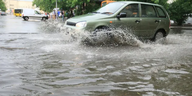
Parts of South Australia are at risk of flooding as heavy rain falls east of Adelaide, with the drenching set to continue until at least Tuesday .
The state has copped heavy falls this week, with emergency crews currently mopping up as they gear up for more call outs. All 67 of its crews are on stand-by.
The Bureau of Meterology (BoM) warned that more heavy rain would lash parts of the state over the next few days, and particularly in the Mount Lofty Ranges.
"A front and associated upper trough will move across the State during Saturday with another system moving over the State again on Monday and Tuesday," BoM said on its website.
"Rainfall associated with this first front is expected to be in the range 10 to 30 mm over the Mt Lofty Ranges, and the far northeast of the State, with 5mm to 15mm in the Mid North."
SES state duty officer Mike Baker told the ABC that volunteers remained ready to respond.
"We've made a few sandbag dispersion points available. There's the Noarlunga SES unit and Burnside CFS and Bridgewater CFS," he is quoted as saying.
BoM said the upper Onkaparinga, upper Torrens and Upper Gawler could reach minor flood levels on Saturday.
It also said it was possible that water levels would rise in the Angas River and Bremer Rivers and that river levels in the Mid North were elevated and may rise further.